
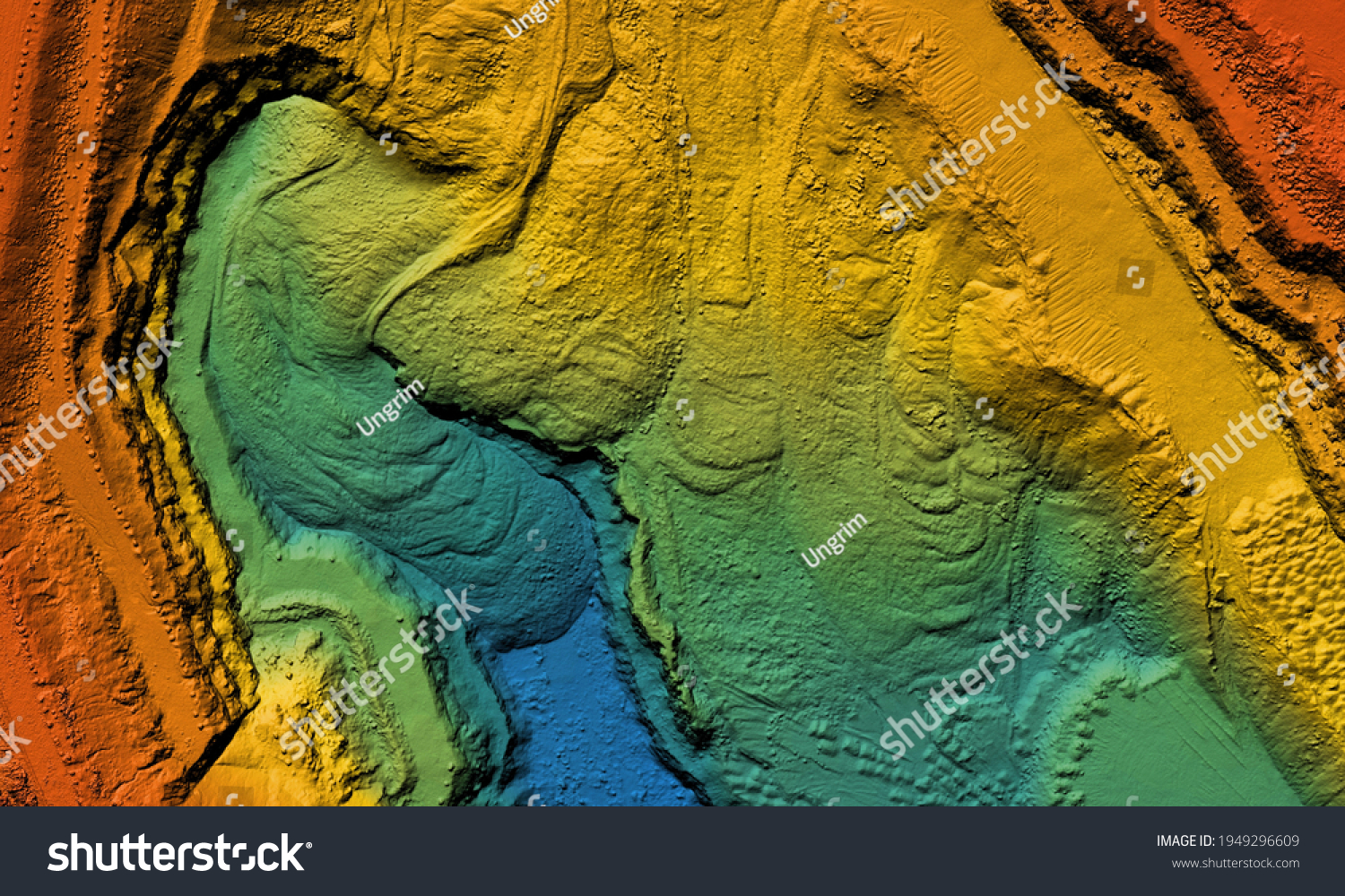
Model of a mine elevation. GIS product made after processing aerial pictures taken from a drone. It shows excavation site with steep rock walls • Royalty Free Stock Photo
Royalty Free Stock Image from Shutterstock 1949296609 by Ungrim
| Shutterstock ID | 1949296609 |
|---|---|
| Added | April 4, 2021 (3 years ago) |
| Ratio | 1.6672 |
| Adult | NO |
| Med size (JPG) | 1000 x 600 px, 1.1 Mb, 300 DPI |
| Small size (JPG) | 500 x 300 px, 0.3 Mb, 300 DPI |
| Huge size (JPG) | 5520 x 3311 px, 15.1 Mb, 300 DPI |
Download Free Images
More than 400 000 free photos available for download
Model of a mine elevation. GIS product made after processing aerial pictures taken from a drone. It shows excavation site with steep rock walls is royalty free stock photo by Ungrim.
You can buy this royalty free stock image on Avopix.com and Shutterstock website.
With our discount coupon „AVOPIX10“ you will save 10 %.