
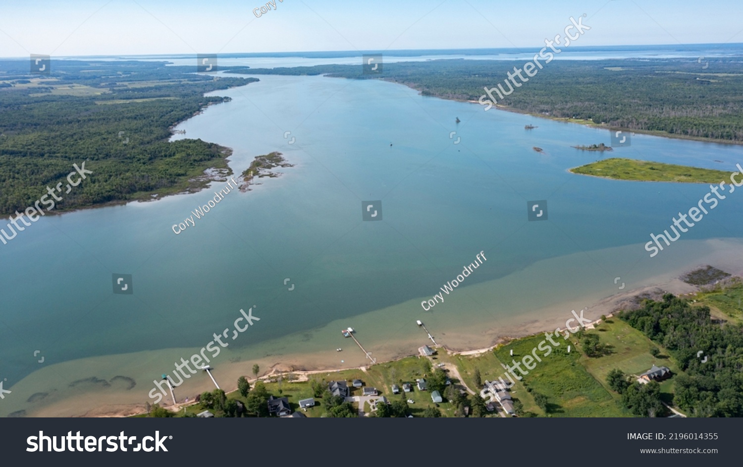
Wide open channel. Aerial drone view of St. Mary's River between Lake Superior and Lake Huron with water channels passing through landscapes between Canada and The Unites States of America. • Royalty Free Stock Photo
Royalty Free Stock Image from Shutterstock 2196014355 by Cory Woodruff
| Shutterstock ID | 2196014355 |
|---|---|
| Added | August 30, 2022 (1 year ago) |
| Ratio | 1.7798 |
| Adult | NO |
| Med size (JPG) | 1000 x 561 px, 0.4 Mb, 300 DPI |
| Small size (JPG) | 500 x 281 px, 0.1 Mb, 300 DPI |
| Huge size (JPG) | 5464 x 3070 px, 10.6 Mb, 300 DPI |
Download Free Images
More than 400 000 free photos available for download
Wide open channel. Aerial drone view of St. Mary's River between Lake Superior and Lake Huron with water channels passing through landscapes between Canada and The Unites States of America. is royalty free stock photo by Cory Woodruff.
You can buy this royalty free stock image on Avopix.com and Shutterstock website.
With our discount coupon „AVOPIX10“ you will save 10 %.