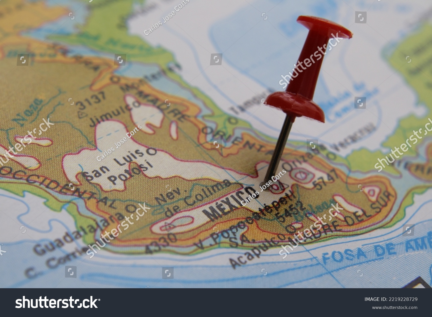
Map of Mexico City, it is the Federal District, its language is Spanish with 66 Amerindian languages, it borders with: USA, Guatemala and Belize, rich in food and the largest tourism in Latin America • Royalty Free Stock Photo
Royalty Free Stock Image from Shutterstock 2219228729 by Carlos Jose Corts
| Shutterstock ID | 2219228729 |
|---|---|
| Added | October 27, 2022 (1 year ago) |
| Ratio | 1.5 |
| Adult | NO |
| Med size (JPG) | 1000 x 667 px, 0.4 Mb, 300 DPI |
| Small size (JPG) | 500 x 334 px, 0.1 Mb, 300 DPI |
| Huge size (JPG) | 6000 x 4000 px, 9.8 Mb, 300 DPI |
Download Free Images
More than 400 000 free photos available for download
Map of Mexico City, it is the Federal District, its language is Spanish with 66 Amerindian languages, it borders with: USA, Guatemala and Belize, rich in food and the largest tourism in Latin America is royalty free stock photo by Carlos Jose Corts.
You can buy this royalty free stock image on Avopix.com and Shutterstock website.
With our discount coupon „AVOPIX10“ you will save 10 %.