Professional royalty-free BUREAU-OF-LAND-MANAGEMENT stock photos and editorial news pictures from Shutterstock
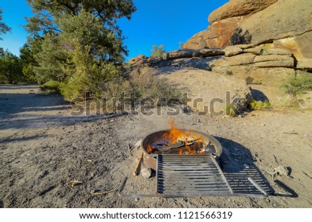
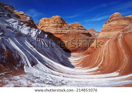
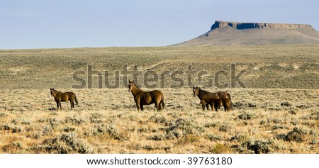
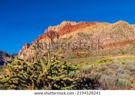
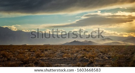
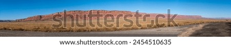
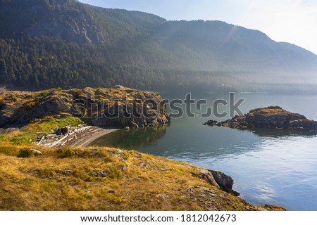
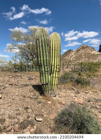
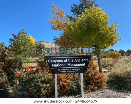
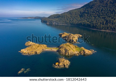
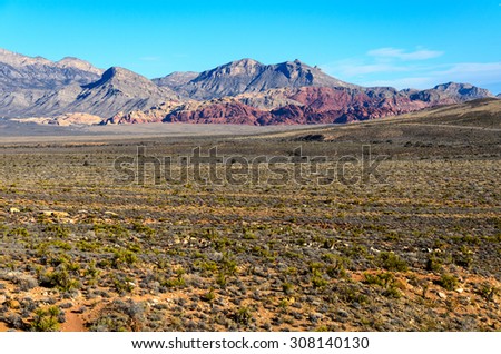
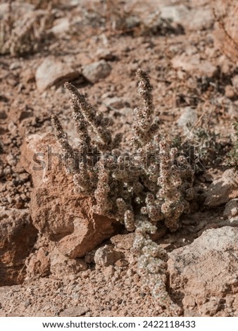
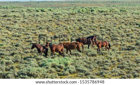
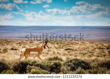
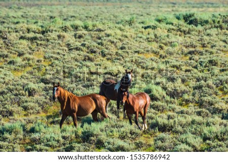
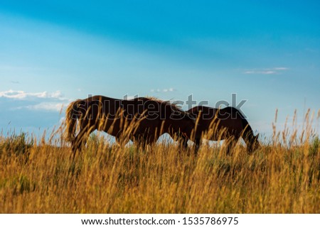
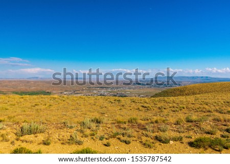
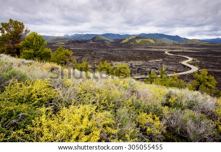
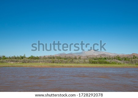
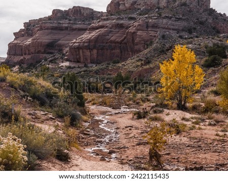
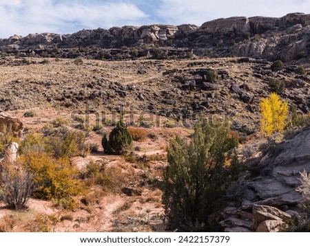
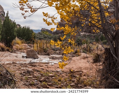
USA, Nevada, Lincoln County, Big Rock Wilderness. Campfire at the Mecca climbing area camp site. Royalty-Free Stock PhotoCoyote Buttes - The Wave in winter, Arizona Royalty-Free Stock Photofree roaming mustangs on the White Mountain BLM land near Green River Wyoming Royalty-Free Stock PhotoEastern collared lizard sunbathes on a sandstone rock in the Colorado desert on a warm sunny day in Rattlesnake Canyon, Colorado, USA Royalty-Free Stock PhotoCholla Cactus With Aztec Sandstone of The Red Rock Escarpment, Red Rock National Conservation Area, Las Vegas, Nevada, USA Royalty-Free Stock PhotoHorizontal Color Image of a sunset with heavy wind over Big Dune in Nevada Royalty-Free Stock PhotoVermilion Cliffs National Monument in Arizona. The Vermilion Cliffs are steep eroded escarpments of sandstone, siltstone, limestone, and shale. Managed by Bureau of Land Management (BLM). Panorama. Royalty-Free Stock Photo Aerial view of one of the largest of the Bureau of Land Managements islands is Lummi Rocks, just off the west side of Lummi Island. Royalty-Free Stock PhotoSaddle Mountain Desert Landscape Arizona Royalty-Free Stock PhotoDolores, Colorado -Oct 9, 2023: Canyons of the Ancients National Monument, Bureau of Land Management administered public lands that contain the highest known archaeological site density in USA. Sign. Royalty-Free Stock PhotoLummi Rocks, In the Salish Sea, Washington State. Aerial view of one of the largest of the Bureau of Land Managements islands is Lummi Rocks, just off the west side of Lummi Island. Royalty-Free Stock PhotoRed Rock Canyon National Conservation Area Royalty-Free Stock PhotoDesert flowers in the Mill Canyon Dinosaur Trail, near Moab (Utah, United States). This canyon is maintained by the Bureau of Land Management, and is completely open to visitors. Royalty-Free Stock PhotoWild Horses, Bureau of Land Management, Wild Horse Range, Rock Springs Wyoming Royalty-Free Stock PhotoA pronghorn antelope crosses the Red Desert in southern Wyoming. Royalty-Free Stock PhotoBureau of Land Management, Wild Horse Range, Rock Springs Wyoming Royalty-Free Stock PhotoWild Horse, Bureau of Land Management, Wild Horse Range, Rock Springs Wyoming Royalty-Free Stock PhotoWild Horses, Bureau of Land Management, Wild Horse Range, Rock Springs Wyoming Royalty-Free Stock PhotoWild Horses, Bureau of Land Management, Wild Horse Range, Rock Springs Wyoming Royalty-Free Stock PhotoWild Horses, Bureau of Land Management, Wild Horse Range, Rock Springs Wyoming Royalty-Free Stock PhotoBureau of Land Management, Wild Horse Range, Rock Springs Wyoming Royalty-Free Stock PhotoCraters of the Moon National Monument and Preserve Royalty-Free Stock PhotoUSA, State of Utah. Grand County. Fossilized wood. Mill Canyon Dinosaur Trail, near Moab. This is an outdoor museum maintained by the Bureau of Land Management, and is completely open to visitors. Royalty-Free Stock PhotoVirgin Peak beyond the banks of the Virgin River in the stunning landscape image from Clark County, Nevada, USA Royalty-Free Stock PhotoUSA, State of Utah. Grand County. Mill Canyon Dinosaur Trail, near Moab. This is an outdoor museum maintained by the Bureau of Land Management, and is completely open to visitors. Royalty-Free Stock PhotoUSA, State of Utah. Grand County. Mill Canyon Dinosaur Trail, near Moab. This is an outdoor museum maintained by the Bureau of Land Management, and is completely open to visitors. Royalty-Free Stock PhotoUSA, State of Utah. Grand County. Mill Canyon Dinosaur Trail, near Moab. This is an outdoor museum maintained by the Bureau of Land Management, and is completely open to visitors. Royalty-Free Stock PhotoThe U.S. Forest Service and Bureau of Land Management oversee 72 million hectares, or about 278,000 square miles, of forests – an area about the size of Texas and Vermont combined. A recent inventory Royalty-Free Stock PhotoThe U.S. Forest Service and Bureau of Land Management oversee 72 million hectares, or about 278,000 square miles, of forests – an area about the size of Texas and Vermont combined. A recent inventory Royalty-Free Stock PhotoThe U.S. Forest Service and Bureau of Land Management oversee 72 million hectares, or about 278,000 square miles, of forests – an area about the size of Texas and Vermont combined. A recent inventory Royalty-Free Stock Photo