GEOGRAPHIC INFORMATION SYSTEM Stock Photos and Images
Professional royalty-free GEOGRAPHIC-INFORMATION-SYSTEM stock photos and editorial news pictures from Shutterstock
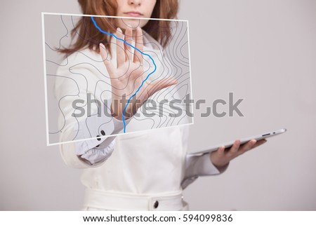
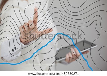
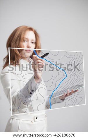
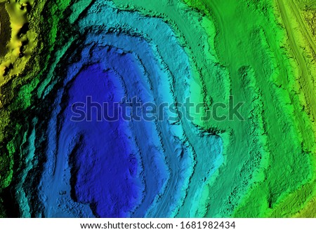
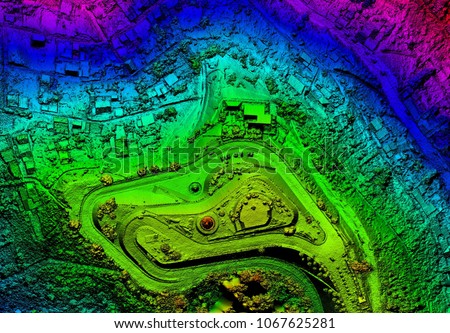
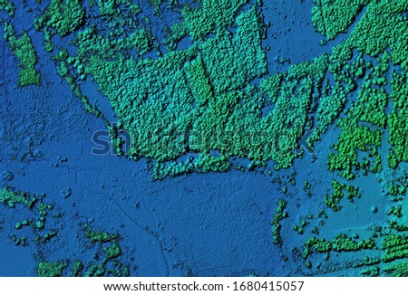
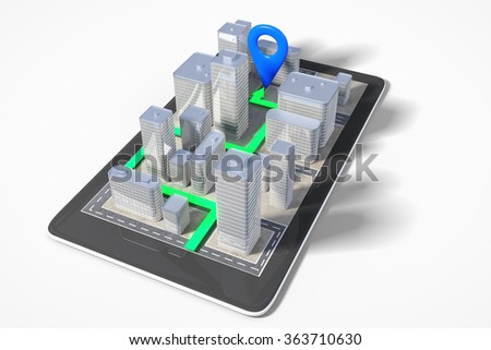
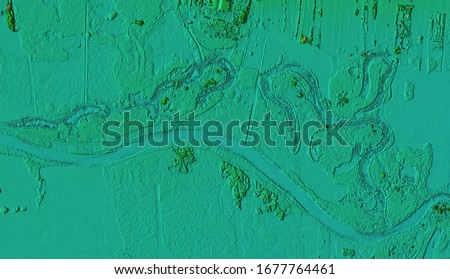
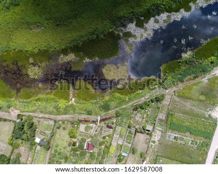
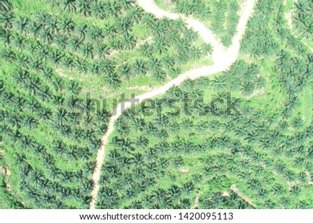
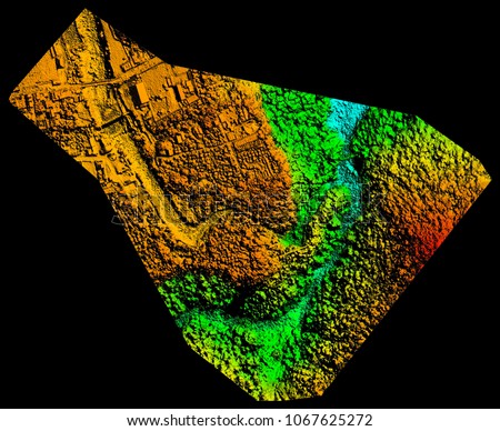
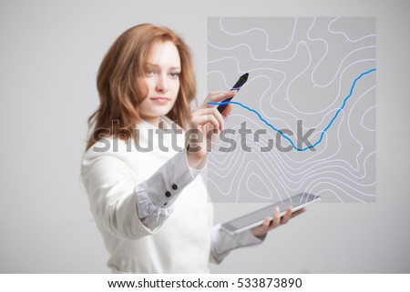
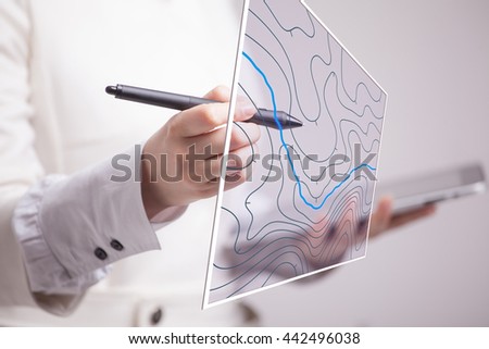
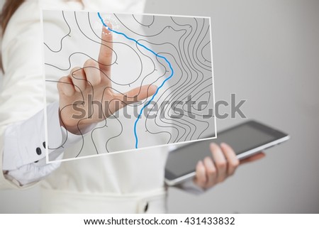
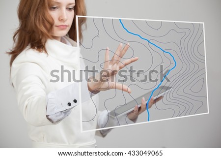
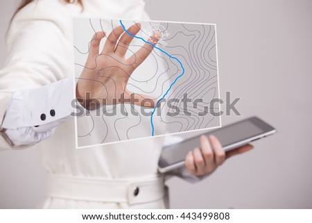
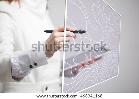
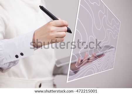
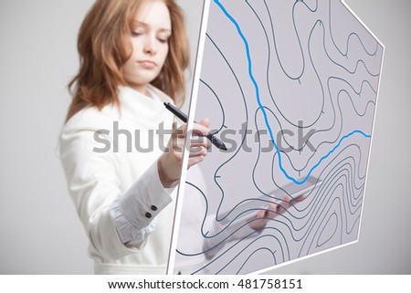
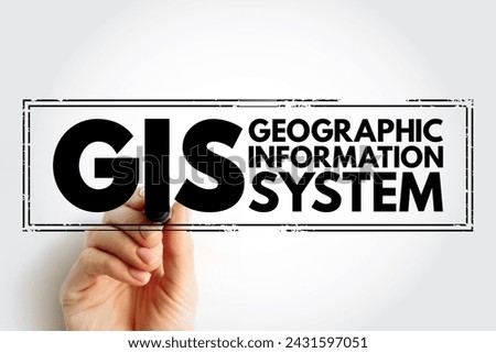
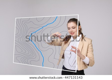
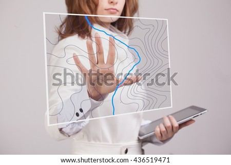
Geographic information systems concept, woman scientist working with futuristic GIS interface on a transparent screen. Royalty-Free Stock PhotoGeographic information systems concept, woman scientist working with futuristic GIS interface on a transparent screen. Royalty-Free Stock PhotoGeographic information systems concept, woman scientist working with futuristic GIS interface on a transparent screen. Royalty-Free Stock PhotoGeographic information systems concept, woman scientist working with futuristic GIS interface on a transparent screen. Royalty-Free Stock PhotoDEM - digital elevation model. GIS product made after processing aerial pictures taken from a drone. It shows excavation site with steep rock walls Royalty-Free Stock PhotoAerial drone survey using photogrammetry to create an orthorectified map of the land, capturing geospatial data for GIS analysis. Royalty-Free Stock PhotoDigital elevation model of a forest area. GIS product made by aerial mapping from a drone. Lidar scan and multispectral camera gives NDVI and NIR effect. Royalty-Free Stock PhotoCity navigation concept with cell phone with 3D buildings and paved route Royalty-Free Stock PhotoTwo business-like young women plot a route on a geographical map for the delivery of cargo. International logistics and cooperation. Royalty-Free Stock PhotoDigital elevation model. GIS product made after proccesing aerial pictures taken from a drone. It shows meandering river with swamps Royalty-Free Stock PhotoTop down aerial view of oxbow lake. It is near buildings. Water reflexes clouds Royalty-Free Stock Photoinformation systems word cloud on a digital tablet with a cup of coffee Royalty-Free Stock Photoplanting of oil palm oil industry on the island of Kalimantan - aerial photography Royalty-Free Stock PhotoA detailed digital elevation model created through photogrammetry for geographic information system analysis. Royalty-Free Stock PhotoGeographic information systems concept, woman scientist working with futuristic GIS interface on a transparent screen. Royalty-Free Stock PhotoGeographic information systems concept, woman scientist working with futuristic GIS interface on a transparent screen. Royalty-Free Stock PhotoGeographic information systems concept, woman scientist working with futuristic GIS interface on a transparent screen. Royalty-Free Stock PhotoGeographic information systems concept, woman scientist working with futuristic GIS interface on a transparent screen. Royalty-Free Stock PhotoGeographic information systems concept, woman scientist working with futuristic GIS interface on a transparent screen. Royalty-Free Stock PhotoGeographic information systems concept, woman scientist working with futuristic GIS interface on a transparent screen. Royalty-Free Stock PhotoGeographic information systems concept, woman scientist working with futuristic GIS interface on a transparent screen. Royalty-Free Stock PhotoGIS Geographic Information System - type of database containing geographic data with software tools for managing, analyzing, and visualizing those data, acronym text with marker Royalty-Free Stock PhotoGeographic information systems concept, woman scientist working with futuristic GIS interface on a transparent screen. Royalty-Free Stock PhotoGeographic information systems concept, woman scientist working with futuristic GIS interface on a transparent screen. Royalty-Free Stock PhotoGeographic information systems concept, woman scientist working with futuristic GIS interface on a transparent screen. Royalty-Free Stock PhotoGIS Geographic Information System - type of database containing geographic data with software tools for managing, analyzing, and visualizing those data, acronym text concept stamp Royalty-Free Stock PhotoGeographic information systems concept, woman scientist working with futuristic GIS interface on a transparent screen. Royalty-Free Stock PhotoGeographic information systems concept, woman scientist working with futuristic GIS interface on a transparent screen. Royalty-Free Stock PhotoWoman specialist and urban planner working with the interactive subway map. Royalty-Free Stock PhotoWoman specialist and urban planner working with the interactive subway map. Royalty-Free Stock Photo