Professional royalty-free GIS stock photos and editorial news pictures from Shutterstock
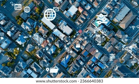
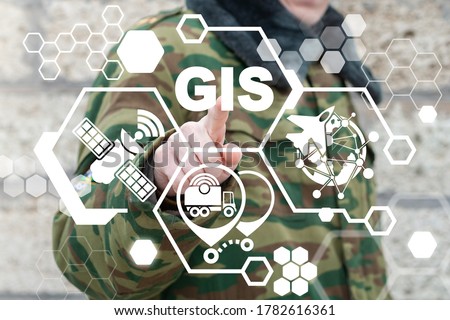
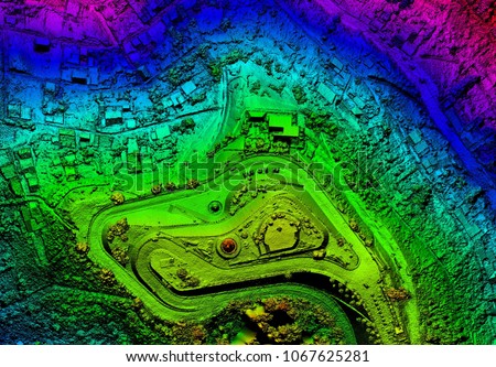
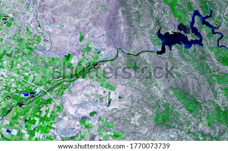
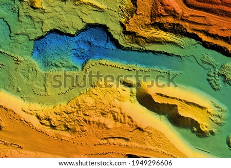
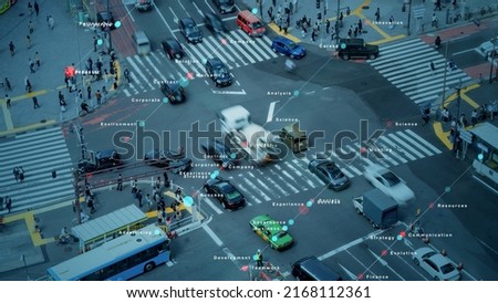
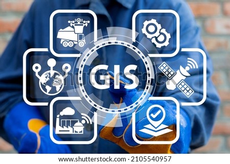
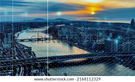
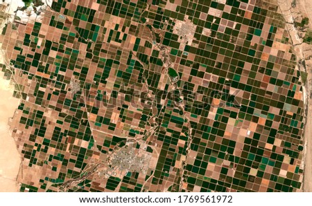
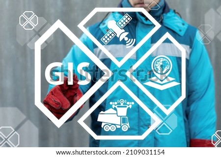
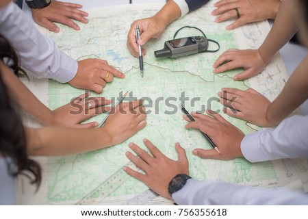
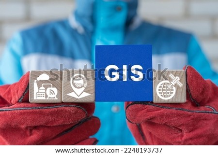
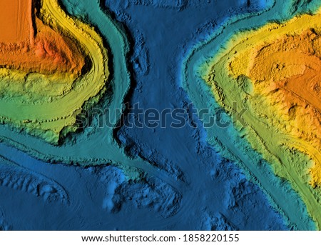
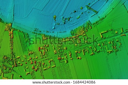
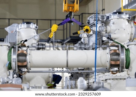
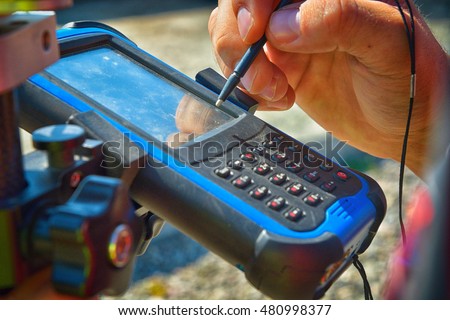
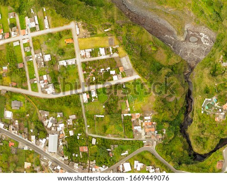
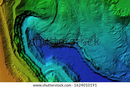
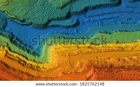
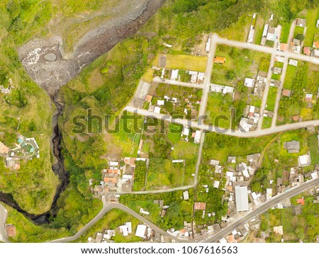
Modern residential area and communication network. 5G. IoT (Internet of Things). Digital transformation. Royalty-Free Stock PhotoGeographic Information System (GIS) Army Technology. Military Geography Communication Technology. Royalty-Free Stock PhotoModern city and communication network concept. IoT (Internet of Things). Smart city. Digital transformation. Royalty-Free Stock PhotoModel of a mine elevation. GIS product made after processing aerial pictures taken from a drone. It shows excavation site with steep rock walls Royalty-Free Stock PhotoGeographic Information System (GIS) Modern Industry Smart Transportation Concept. Royalty-Free Stock PhotoAerial drone survey using photogrammetry to create an orthorectified map of the land, capturing geospatial data for GIS analysis. Royalty-Free Stock PhotoSatellite images in false-color compositions showing crops between the ash and wood boundaries California USA. Royalty-Free Stock PhotoModel of a mine elevation. GIS product made after processing aerial pictures taken from a drone. It shows excavation site with steep rock walls Royalty-Free Stock PhotoModern city and marketing concept. Royalty-Free Stock PhotoGeographic Information System GIS Modern Industry 4.0 Smart Geography Topography Cartography Data Transportation Tracking Concept. Royalty-Free Stock PhotoSmart city and communication network concept. 5G. IoT (Internet of Things). Telecommunication. Royalty-Free Stock Photourban transport and network. Wide angle visual for banners or advertisements. Royalty-Free Stock PhotoImage satellite of the presence crops and andcities. Sonora desert of Brawley, California, EUA. Observation of the surface of the earth from the sky. Generated and modified from satellite images. Royalty-Free Stock PhotoGeographic information systems concept, woman scientist working with futuristic GIS interface on a transparent screen. Royalty-Free Stock PhotoGIS Geographic Information System Modern Industry 4.0 Concept. Smart Geography Topography Cartography Data Industrial Transportation Tracking. Royalty-Free Stock PhotoGeographic information systems concept, woman scientist working with futuristic GIS interface on a transparent screen. Royalty-Free Stock PhotoIndustry concept of GIS Geographic Information System. Royalty-Free Stock Photohands on map in science classroom Royalty-Free Stock PhotoEngineer holding blocks with conceptual banner: GIS. Concept of GIS Geographic Information System Modern Industry Transportation Technology. Royalty-Free Stock PhotoModel of a mine elevation. GIS product made after processing aerial pictures taken from a drone. It shows excavation site with steep rock walls Royalty-Free Stock PhotoMan using mobile map app next to the lake. Smartphone with 5g connection Royalty-Free Stock PhotoGIS Geographic Information Systems Smartphone App Technology Concept. Royalty-Free Stock PhotoDigital elevation model. GIS product made after proccesing aerial pictures taken from a drone. Shows the urban area of the scattered village Royalty-Free Stock PhotoInstallation work at a gas insulated switchgear(GIS) for extra high voltage electrical power substation. Sulfur hexafluoride used in the electrical industry as a gaseous dielectric. Royalty-Free Stock PhotoGIS Geographic Information System Industry 4.0 concept. Engineer using virtual touchscreen presses GIS acronym. Royalty-Free Stock PhotoField controller on smart pole for surveying. GPS surveying instrument. Royalty-Free Stock PhotoA modern aerial map created using geospatial technology, GIS, drones, and photogrammetry for engineering development and georeferencing of building sites. Royalty-Free Stock PhotoDigital elevation model. GIS product made after proccesing aerial pictures taken from a drone. It shows map of an excavation site with steep rock walls Royalty-Free Stock PhotoModel of a mine elevation. GIS product made after processing aerial pictures taken from a drone. It shows excavation site with steep rock walls Royalty-Free Stock PhotoA modern aerial map created using geospatial technology, GIS, drones, and photogrammetry for engineering development and georeferencing of building sites. Royalty-Free Stock Photo