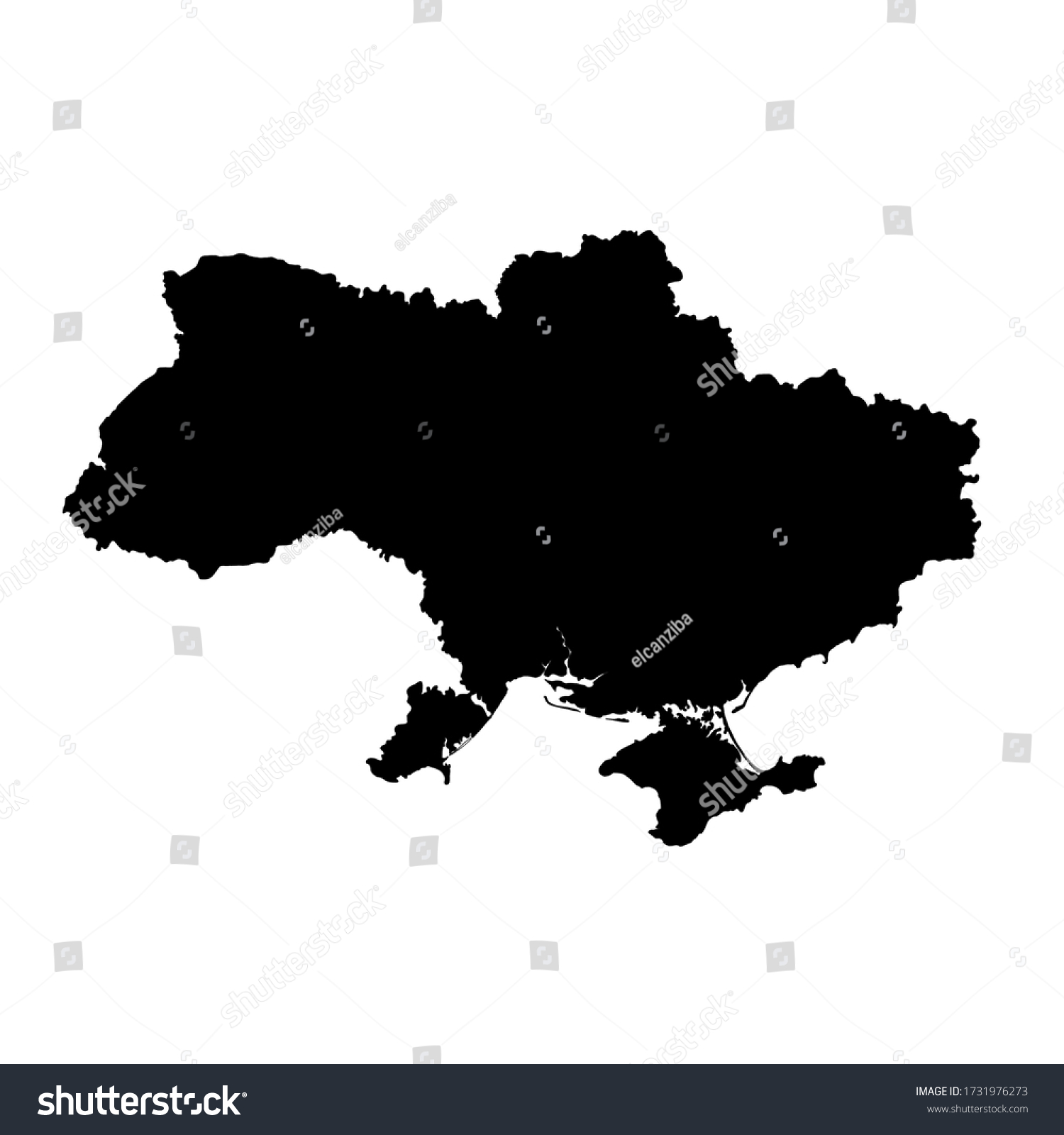
Ukraine political map is made of 100% hand-drawn shapes, which makes it really useful for different graphical or printing projects. The map is fully filled with color. • Royalty Free Stock Photo
Royalty Free Stock Image from Shutterstock 1731976273 by elcanziba
| Shutterstock ID | 1731976273 |
|---|---|
| Added | May 15, 2020 (4 years ago) |
| Ratio | 1 |
| Adult | NO |
| Med size (JPG) | 1000 x 1000 px, 0.1 Mb, 300 DPI |
| Small size (JPG) | 500 x 500 px, 0.0 Mb, 300 DPI |
| Huge size (JPG) | 4000 x 4000 px, 0.4 Mb, 300 DPI |
Download Free Images
More than 400 000 free photos available for download
Ukraine political map is made of 100% hand-drawn shapes, which makes it really useful for different graphical or printing projects. The map is fully filled with color. is royalty free stock photo by elcanziba.
You can buy this royalty free stock image on Avopix.com and Shutterstock website.
With our discount coupon „AVOPIX10“ you will save 10 %.