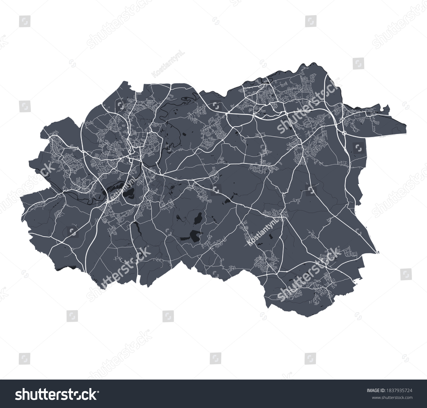
Wakefield map. Detailed vector map of Wakefield city administrative area. Cityscape poster metropolitan aria view. Dark land with white streets, roads and avenues. White background. • Royalty Free Stock Photo
Royalty Free Stock Image from Shutterstock 1837935724 by KostiantynL
| Shutterstock ID | 1837935724 |
|---|---|
| Added | October 21, 2020 (4 years ago) |
| Ratio | 1.1255 |
| Adult | NO |
| Vector size (EPS) | Scalable vector |
| Huge size (JPG) | 4592 x 4080 px, 4.1 Mb, 300 DPI |
Download Free Images
More than 400 000 free photos available for download
Wakefield map. Detailed vector map of Wakefield city administrative area. Cityscape poster metropolitan aria view. Dark land with white streets, roads and avenues. White background. is royalty free stock photo by KostiantynL.
You can buy this royalty free stock image on Avopix.com and Shutterstock website.
With our discount coupon „AVOPIX10“ you will save 10 %.