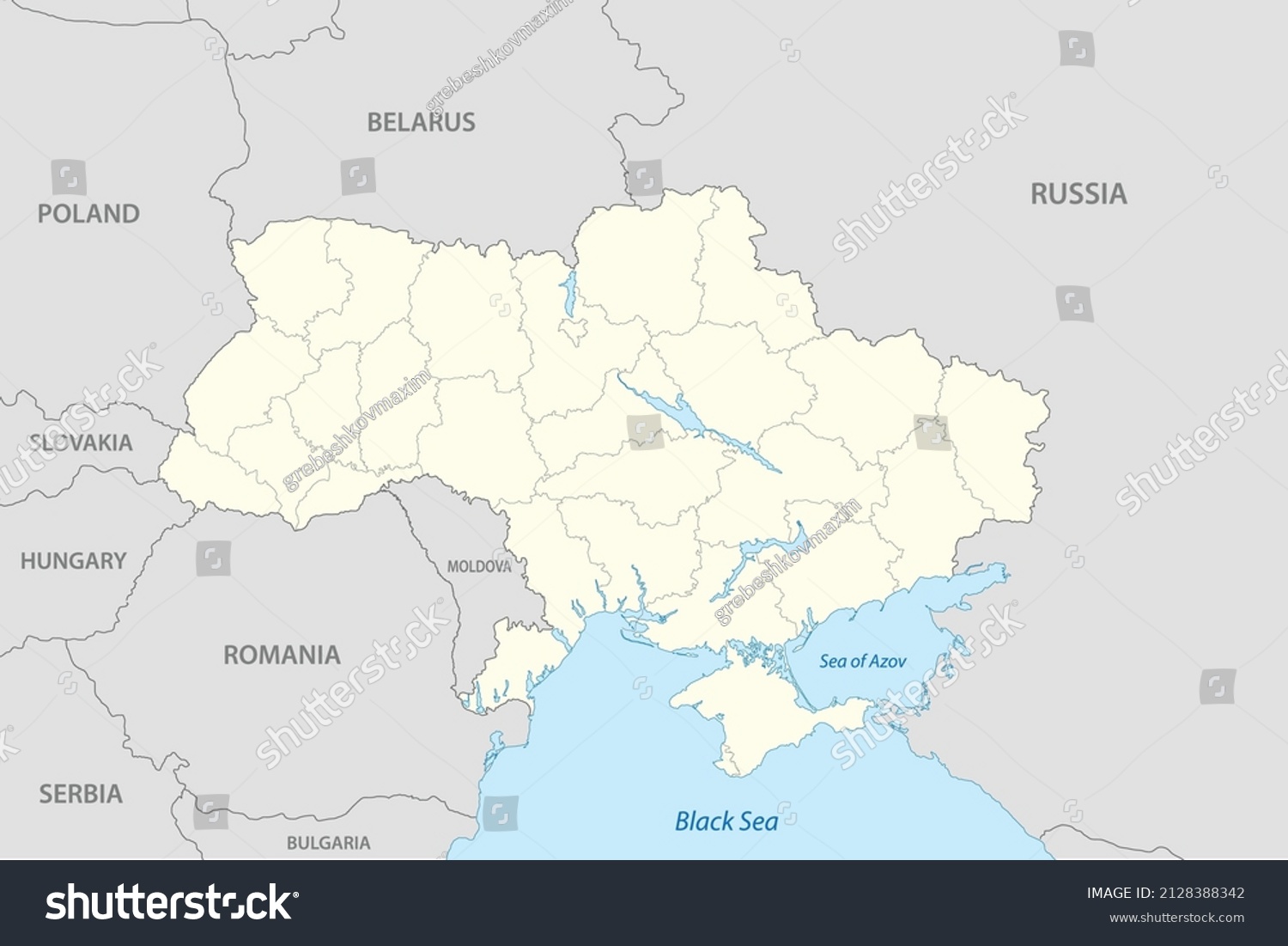
Political map of Ukraine with borders of the regions. Vector illustration • Royalty Free Stock Photo

Royalty Free Stock Image from Shutterstock 2128388342 by magr80

Download this image

Buy this photo Buy this photo

Use coupon AVOPIX10 and get 10% discount

Shutterstock ID 2128388342
Added February 24, 2022 (2 years ago)
Ratio 1.5
Adult NO
Vector size (EPS) Scalable vector
Huge size (JPG) 3000 x 2000 px, 0.6 Mb, 300 DPI

Categories: Backgrounds/Textures

Ukrainian Country Capital Geographical City Donbas Republic Political Azov Sea East Separatism Geographic Province Russia Geography Land State Europe Map Occupied Area Border Mariupol Lugansk Cities Russian Dpr Oblast Dnr Eps War Cartography Luhansk People Lpr Lnr Blue Donets Light Administrative Donbass Ukraine Illustration River Region Territory


Download Free Images

More than 400 000 free photos available for download

Ukrainian Country Capital Geographical City Donbas Republic Political Azov Sea East Separatism Geographic Province Russia Geography Land State Europe Map Occupied Area Border Mariupol Lugansk Cities Russian Dpr Oblast Dnr Eps War Cartography Luhansk People Lpr Lnr Blue Donets Light Administrative Donbass Ukraine Illustration River Region Territory


Political map of Ukraine with borders of the regions. Vector illustration is royalty free stock photo by magr80.
You can buy this royalty free stock image on Avopix.com and Shutterstock website.
With our discount coupon „AVOPIX10“ you will save 10 %.