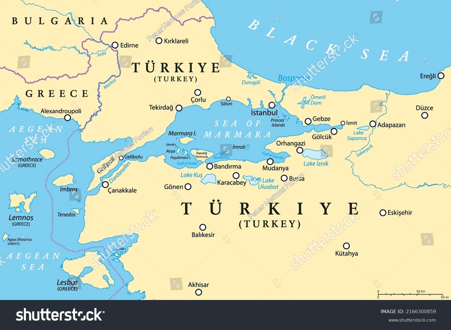
Bosporus and Dardanelles, political map. The Turkish Straits, internationally significant and narrow waterways in Turkey. Passages, connecting the Aegean Sea and the Sea of Marmara with the Black Sea. • Royalty Free Stock Photo
Royalty Free Stock Image from Shutterstock 2166300859 by Peter Hermes Furian
| Shutterstock ID | 2166300859 |
|---|---|
| Added | June 11, 2022 (1 year ago) |
| Ratio | 1.5006 |
| Adult | NO |
| Vector size (EPS) | Scalable vector |
| Huge size (JPG) | 2533 x 1688 px, 0.9 Mb, 300 DPI |
Download Free Images
More than 400 000 free photos available for download
Bosporus and Dardanelles, political map. The Turkish Straits, internationally significant and narrow waterways in Turkey. Passages, connecting the Aegean Sea and the Sea of Marmara with the Black Sea. is royalty free stock photo by Peter Hermes Furian.
You can buy this royalty free stock image on Avopix.com and Shutterstock website.
With our discount coupon „AVOPIX10“ you will save 10 %.