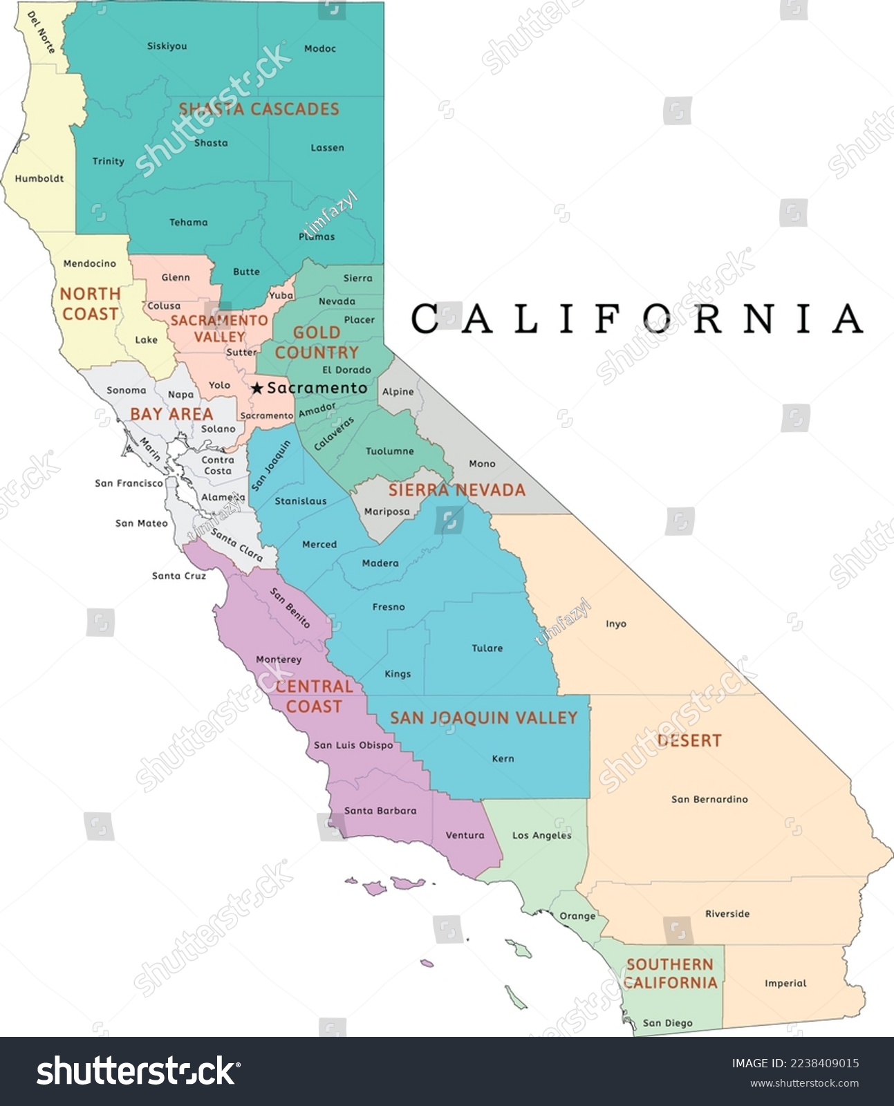
California state regions map with counties. Colored. Vectored • Royalty Free Stock Photo

Royalty Free Stock Image from Shutterstock 2238409015 by Mapcorn

Download this image

Download Free Photo Download this photo

Use coupon AVOPIX10 and get 10% discount

Shutterstock ID 2238409015
Added December 15, 2022 (1 year ago)
Ratio 0.8618
Adult NO
Vector size (EPS) Scalable vector
Huge size (JPG) 2931 x 3401 px, 1.1 Mb, 300 DPI

Categories: Miscellaneous Science

Contra costa County San bernardino Bay area Political San mateo America Province Geography Butler California State Los angeles Border Chelan San joaquin Kern Shasta cascades Island Riverside Cartography Counties map Sacramento Ventura Background Sierra nevada Stanislaus Alameda Region Fresno Gold country Color City Sacramento valley Santa clara Outline North coast Central coast National Vector Graphic Map Ca San francisco Southern california Orange Administrative Desert Sonoma Travel


Download Free Images

More than 400 000 free photos available for download

Contra costa County San bernardino Bay area Political San mateo America Province Geography Butler California State Los angeles Border Chelan San joaquin Kern Shasta cascades Island Riverside Cartography Counties map Sacramento Ventura Background Sierra nevada Stanislaus Alameda Region Fresno Gold country Color City Sacramento valley Santa clara Outline North coast Central coast National Vector Graphic Map Ca San francisco Southern california Orange Administrative Desert Sonoma Travel


California state regions map with counties. Colored. Vectored is royalty free stock photo by Mapcorn.
You can buy this royalty free stock image on Avopix.com and Shutterstock website.
With our discount coupon „AVOPIX10“ you will save 10 %.