Professional royalty-free DISTRICT-STATES stock vectors and illustrations from Shutterstock
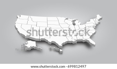
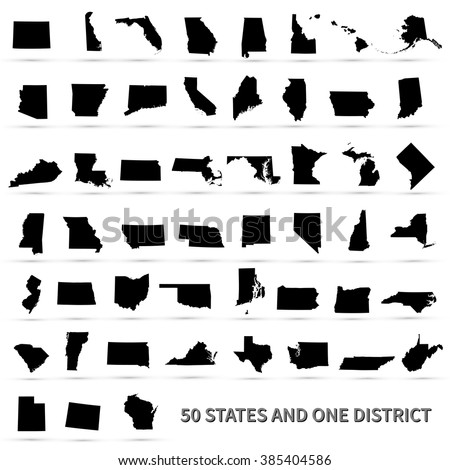
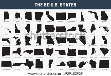
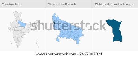
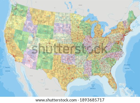
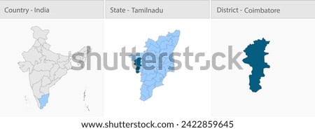
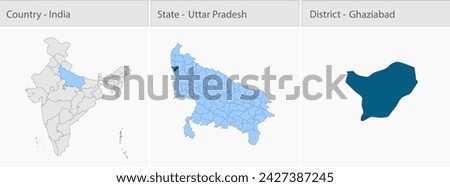
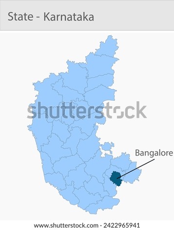
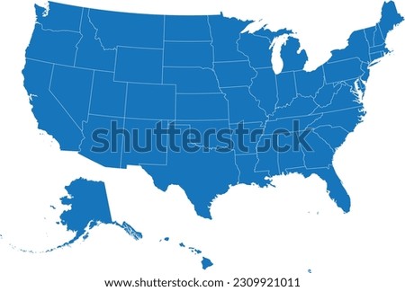
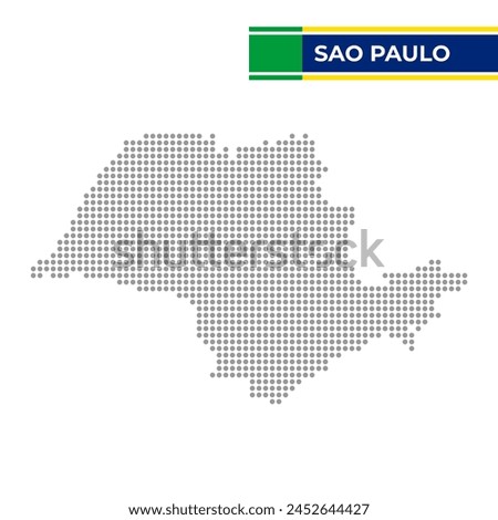
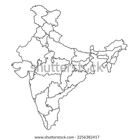
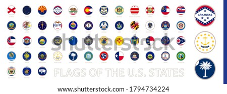
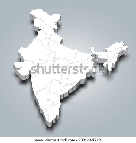
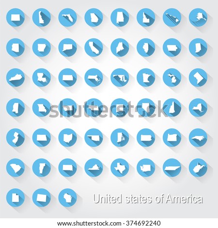
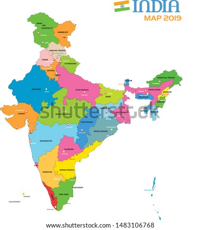
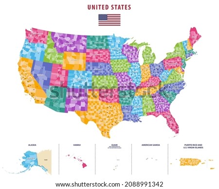
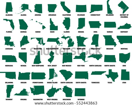
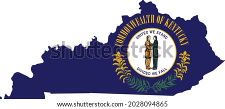
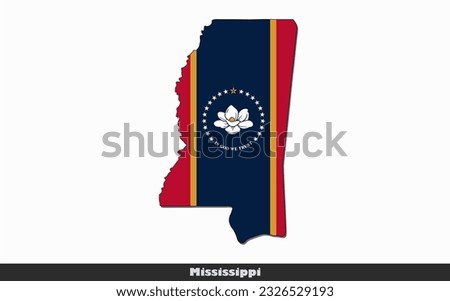
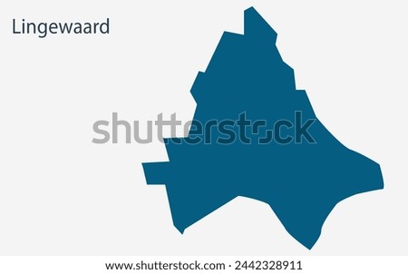
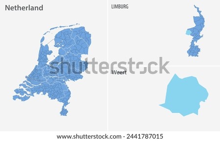
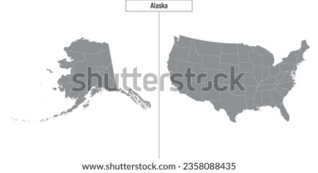
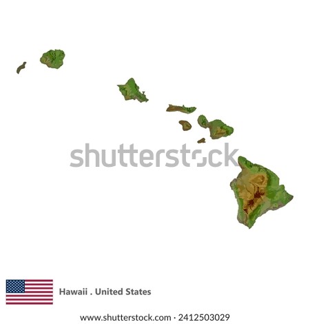
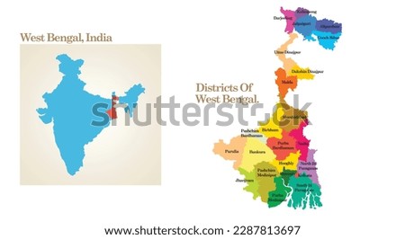
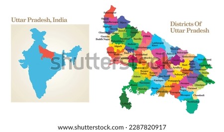
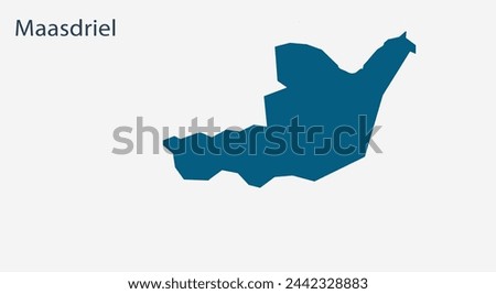
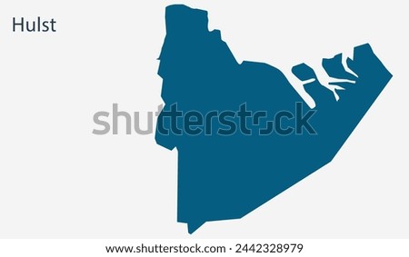
3D Map of United state of america . Royalty-Free Stock PhotoUnited States of America 50 states and 1 federal district. Set of US states maps. Royalty-Free Stock PhotoThe State of Texas Logo Royalty-Free Stock PhotoMap set of the United States with its 50 states. Royalty-Free Stock PhotoGautam budh nagar Map, Gautam budh nagar district map, Uttar Pradesh state map, showing its cities, Indian map, vector, EPS, illustrator, Government of India, politics, natural beauty, tourists, Royalty-Free Stock PhotoComplex USA political map with every county, major city, roads and hydrography. Royalty-Free Stock PhotoCoimbatore Map, Coimbatore district map, Tamil Nadu state map, showing its cities, Indian map, vector, EPS, illustrator, Government of India, politics, natural beauty, tourists, Royalty-Free Stock PhotoGhaziabad Map, Ghaziabad district map, Uttar Pradesh state map, showing its cities, Indian map, vector, EPS, illustrator, Government of India, politics, natural beauty, tourists, Royalty-Free Stock PhotoBangalore Map, Bangalore district map, Karnataka state map, showing its cities, Indian map, vector, EPS, illustrator, Government of India, politics, natural beauty, tourists, Royalty-Free Stock PhotoBLUE CMYK color detailed flat map of the UNITED STATES OF AMERICA on transparent background with white federal states borders Royalty-Free Stock PhotoDotted map of the State of Sao Paulo in Brazil Royalty-Free Stock PhotoNew India map 2023 ( Jammu and Kashmir and Ladakh Union territory) Royalty-Free Stock PhotoRound Circle Flag of the US States Sorted Alphabetically. Big Vector Set of Round Flag. Royalty-Free Stock PhotoIndia 3d map with state borders and it’s capital Royalty-Free Stock PhotoUnited States of America 50 states and 1 federal district. Set of US states maps. Royalty-Free Stock PhotoNEW INDIA MAP 2019 ( jammu and kashmir and ladakh union territory) Royalty-Free Stock Photo117th United States congressional districts map (2021-2023) vector high detailed map. USA counties map with congressional districts borders Royalty-Free Stock PhotoUSA State Maps Vector Silhouettes Isolated on White set of 50 states and DC Royalty-Free Stock PhotoSimple flat flag map of the Federal State of Kentucky, USA Royalty-Free Stock PhotoMississippi - State of America (EPS) Royalty-Free Stock PhotoMap of Lingewaard, Lingewaard Map, Region of Netherland, district, states, Netherland map, Politics, government, people, national day, full map, area, containment, states, outline Royalty-Free Stock PhotoMap of Weert, Weert Map, Region of Netherland, district, states, Netherland map, Politics, government, people, national day, full map, area, containment, states, outline Royalty-Free Stock PhotoSimple map of Alaska state of United States and location on USA map Royalty-Free Stock PhotoHawaii, States of America Topographic Map (EPS) Royalty-Free Stock Photoadministrative and political map of the State West Bengal in India. Royalty-Free Stock Photoadministrative and political map of the State Uttar Pradesh in India. Royalty-Free Stock PhotoSet of 300 thin line icons set. In this bundle include united states presidential election, university, urban building Royalty-Free Stock PhotoBlank abstract social north Russia region area district plan shape on white paper texture. Color hand drawn flat south east republic element concept logo pictogram in modern art doodle sketch style Royalty-Free Stock PhotoMap of Maasdriel, Maasdriel Map, Region of Netherland, district, states, Netherland map, Politics, government, people, national day, full map, area, containment, states, outline Royalty-Free Stock PhotoMap of Hulst, Hulst Map, Region of Netherland, district, states, Netherland map, Politics, government, people, national day, full map, area, containment, states, outline Royalty-Free Stock Photo