Professional royalty-free GEOSPATIAL stock photos and editorial news pictures from Shutterstock
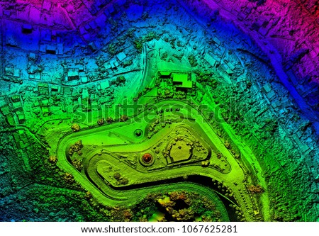
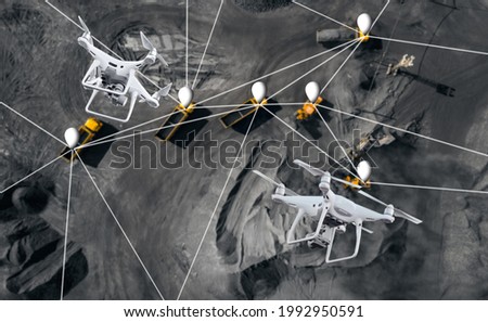
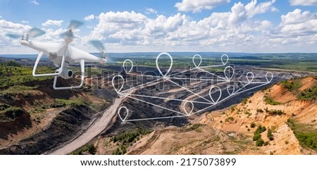
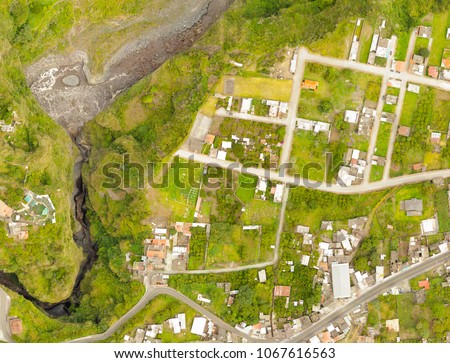
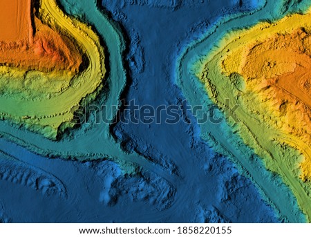
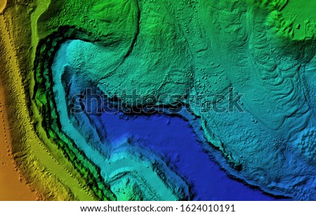
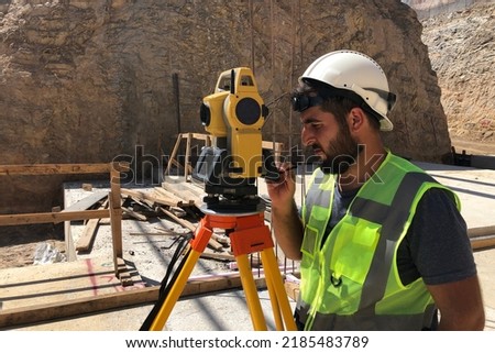
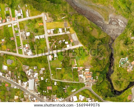
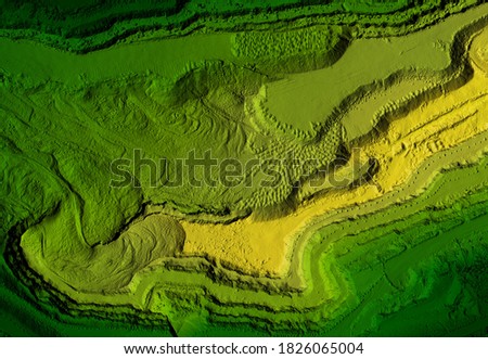
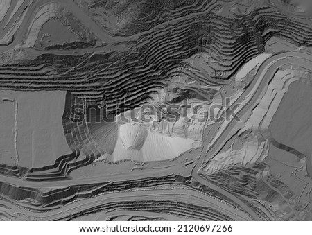
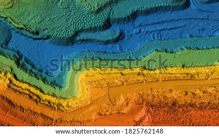
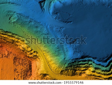
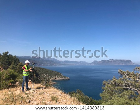
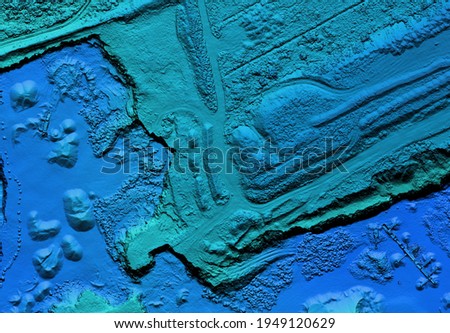
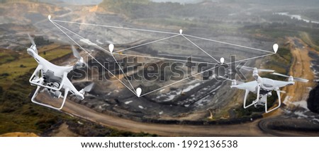
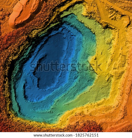
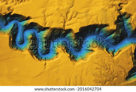
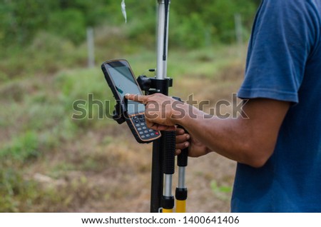
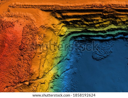
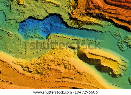
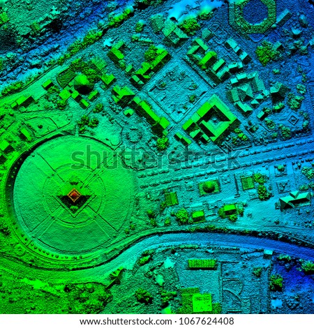
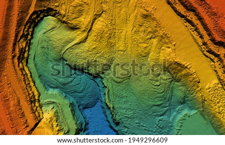
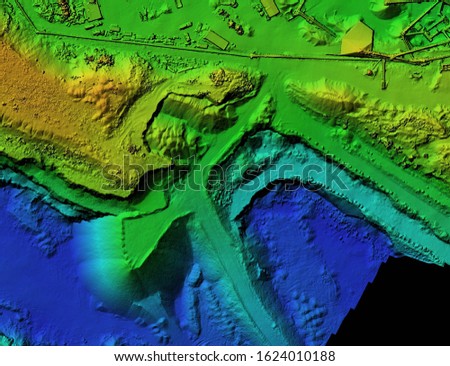
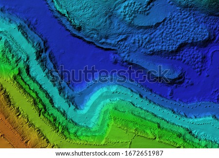
Navigate the digital landscape with a virtual screen displaying a map network on a smartphone. Uncover the possibilities of data connections and location tracking with this captivating image Royalty-Free Stock PhotoAerial drone survey using photogrammetry to create an orthorectified map of the land, capturing geospatial data for GIS analysis. Royalty-Free Stock PhotoSmart industry concept, control and coordination of dump trucks with aerial uav drones on opencast mining open coal, Innovation engineering. Royalty-Free Stock PhotoCity data platform cocept. The platform enables smart city planning, public safety management. Provide insights into urban infrastructure and services, allowing cities to identify areas of improvement Royalty-Free Stock PhotoInnovation aerial uav drone copter flying with camera above opencast mining open coal. Concept engineering geology industry. Royalty-Free Stock PhotoCity data platform cocept. The platform enables smart city planning, public safety management. Provide insights into urban infrastructure and services, allowing cities to identify areas of improvement Royalty-Free Stock PhotoModel of a mine elevation. GIS product made after processing aerial pictures taken from a drone. It shows excavation site with steep rock walls Royalty-Free Stock PhotoA modern aerial map created using geospatial technology, GIS, drones, and photogrammetry for engineering development and georeferencing of building sites. Royalty-Free Stock PhotoModel of a mine elevation. GIS product made after processing aerial pictures taken from a drone. It shows excavation site with steep rock walls Royalty-Free Stock PhotoDigital elevation model. GIS product made after proccesing aerial pictures taken from a drone. It shows map of an excavation site with steep rock walls Royalty-Free Stock PhotoSurveyor builder site engineer with theodolite total station at construction site outdoors during surveying work Royalty-Free Stock PhotoLand surveyor stands by theodolite on a tripod against construction site at background. Topographer does measurements on geodetic total station. Geodetic or topographic works Royalty-Free Stock PhotoA modern aerial map created using geospatial technology, GIS, drones, and photogrammetry for engineering development and georeferencing of building sites. Royalty-Free Stock PhotoModel of a mine elevation. GIS product made after processing aerial pictures taken from a drone. It shows excavation site with steep rock walls Royalty-Free Stock PhotoModel of a mine elevation. GIS 3D product made after processing aerial pictures taken from a drone. It shows excavation site with steep rock walls Royalty-Free Stock PhotoModel of a mine elevation. GIS product made after processing aerial pictures taken from a drone. It shows excavation site with steep rock walls Royalty-Free Stock PhotoModel of a mine elevation. GIS product made after processing aerial pictures taken from a drone. It shows excavation site with steep rock walls Royalty-Free Stock PhotoGeodetic engineer surveyor in white hard hat doing measurements with GNSS satellite receiver at the hill top above the sea Royalty-Free Stock PhotoModel of a mine elevation. GIS product made after processing aerial pictures taken from a drone. It shows excavation site with steep rock walls Royalty-Free Stock PhotoInnovation aerial uav drone copter flying with camera above opencast mining open coal. Concept engineering geology industry. Royalty-Free Stock PhotoModel of a mine elevation. GIS product made after processing aerial pictures taken from a drone. It shows excavation site with steep rock walls Royalty-Free Stock PhotoSite engineer in hi-viz installing surveying instrument on construction site Royalty-Free Stock PhotoModel of a canyon elevation. GIS product made after processing aerial pictures taken from a drone. It shows gorge with steep rock walls Royalty-Free Stock PhotoLand surveyor set up GPS GNSS instrument on the field Royalty-Free Stock PhotoModel of a mine elevation. GIS product made after processing aerial pictures taken from a drone. It shows excavation site with steep rock walls Royalty-Free Stock PhotoModel of a mine elevation. GIS product made after processing aerial pictures taken from a drone. It shows excavation site with steep rock walls Royalty-Free Stock PhotoA drone equipped with geospatial technology conducts an aerial survey to create a detailed 3D model of the terrain for mapping and GIS analysis. Royalty-Free Stock PhotoModel of a mine elevation. GIS product made after processing aerial pictures taken from a drone. It shows excavation site with steep rock walls Royalty-Free Stock PhotoDEM - digital elevation model. GIS product made after proccesing aerial pictures taken from a drone. It shows mine with stockpiles that can be measures due to mapping Royalty-Free Stock PhotoDEM - digital elevation model. GIS product made after proccesing aerial pictures taken from a drone. It shows excavation site with steep rock walls Royalty-Free Stock Photo