Professional royalty-free HYPSOMETRIC stock photos and editorial news pictures from Shutterstock
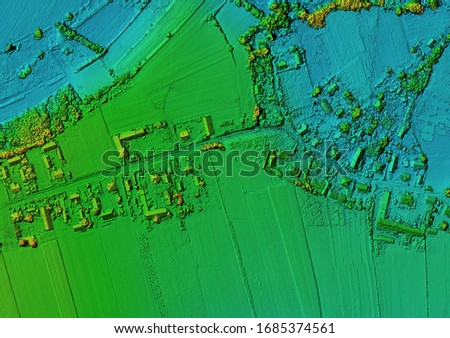
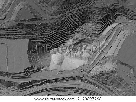
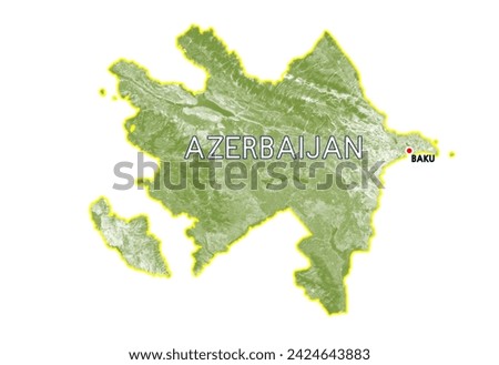
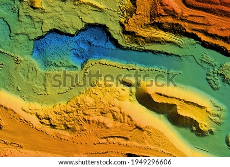
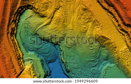
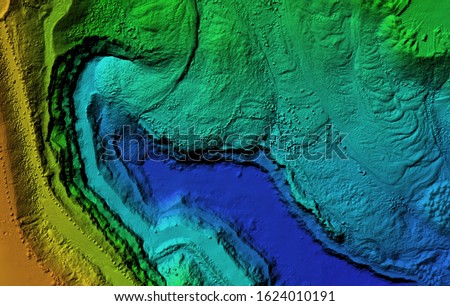
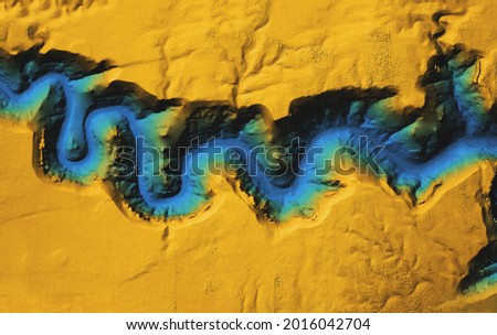
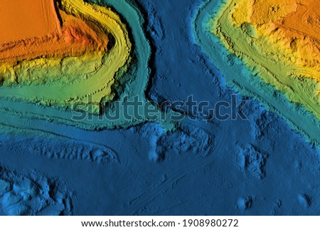
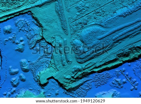
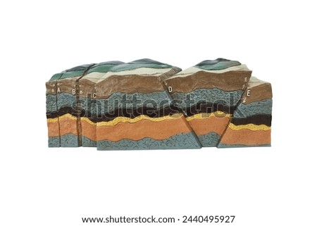
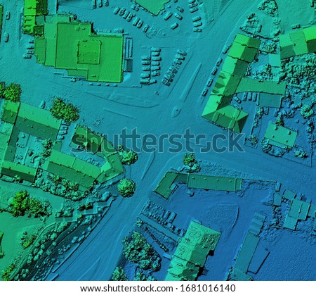
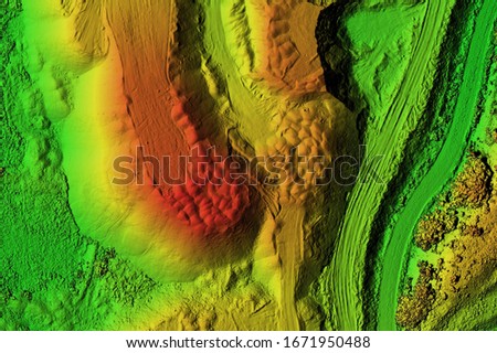
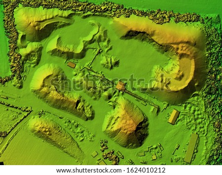
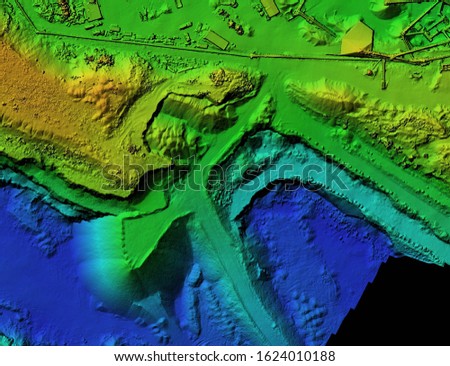
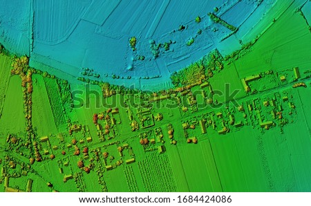
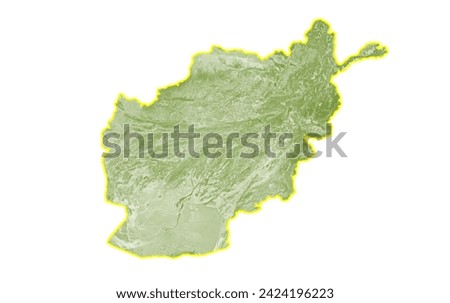
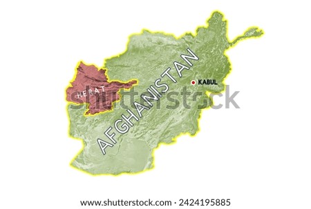
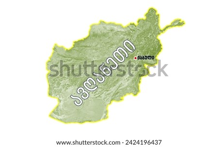
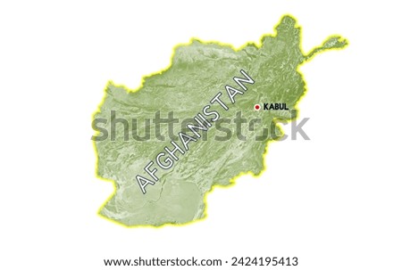
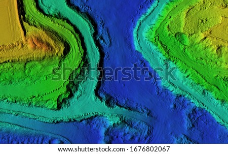
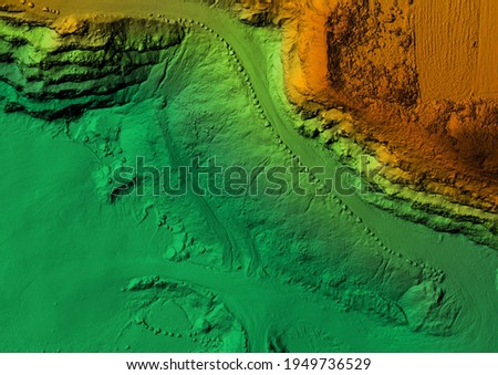
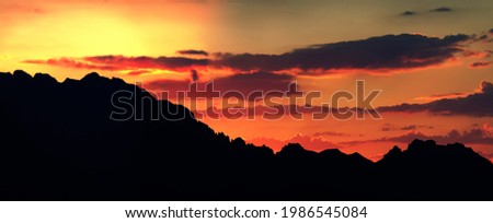
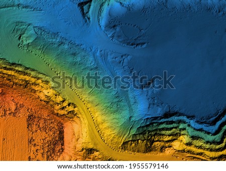
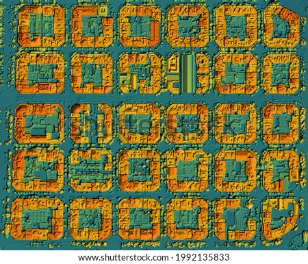
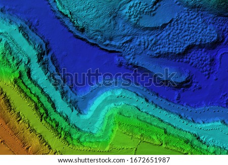
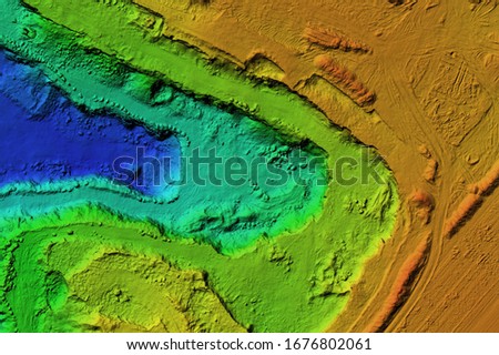
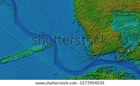
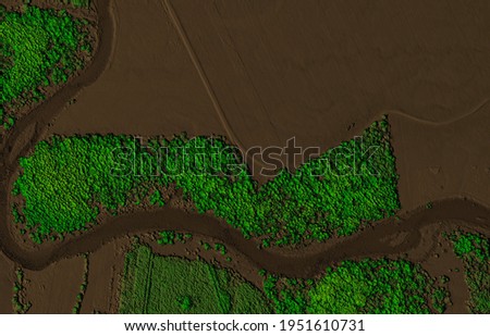
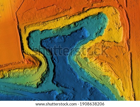
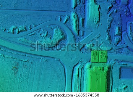
Digital elevation model. GIS product made after proccesing aerial pictures taken from a drone. Shows the urban area of the scattered village Royalty-Free Stock PhotoModel of a mine elevation. GIS 3D product made after processing aerial pictures taken from a drone. It shows excavation site with steep rock walls Royalty-Free Stock PhotoAzerbaijan map, green color, white background with text Azerbaijan in English and in Georgian, Baku Royalty-Free Stock PhotoModel of a mine elevation. GIS product made after processing aerial pictures taken from a drone. It shows excavation site with steep rock walls Royalty-Free Stock PhotoModel of a mine elevation. GIS product made after processing aerial pictures taken from a drone. It shows excavation site with steep rock walls Royalty-Free Stock PhotoDigital elevation model. GIS product made after proccesing aerial pictures taken from a drone. It shows map of an excavation site with steep rock walls Royalty-Free Stock PhotoModel of a canyon elevation. GIS product made after processing aerial pictures taken from a drone. It shows gorge with steep rock walls Royalty-Free Stock PhotoMine elevation model. GIS product made after proccesing aerial pictures taken from a drone. It shows map of an excavation site with steep rock walls Royalty-Free Stock PhotoModel of a mine elevation. GIS product made after processing aerial pictures taken from a drone. It shows excavation site with steep rock walls Royalty-Free Stock PhotoFraction and Dislocation geology model isolated on white background. Royalty-Free Stock PhotoDigital elevation model. GIS product made after proccesing aerial pictures taken from a drone. It shows city urban area with roads and junctions Royalty-Free Stock PhotoDigital elevation model of a mine. GIS product made after proccesing aerial pictures taken from a drone by lidar laser scan. It shows map of an excavation site with steep rock walls Royalty-Free Stock PhotoDEM - digital elevation model. Product made after proccesing pictures taken from a drone. It shows mine with stockpiles Royalty-Free Stock PhotoDEM - digital elevation model. GIS product made after proccesing aerial pictures taken from a drone. It shows mine with stockpiles that can be measures due to mapping Royalty-Free Stock PhotoDigital elevation model. GIS product made after proccesing aerial pictures taken from a drone. Shows the urban area of the scattered village Royalty-Free Stock PhotoAfghanistan map, green color, white background Royalty-Free Stock PhotoHerat, Afghanistan map, green color, white background, with English text: Afghanistan and Kabul, Herat Royalty-Free Stock PhotoAfghanistan map, green color, white background, with Georgian text: Afghanistan and Kabul Royalty-Free Stock PhotoAfghanistan map, green color, white background, with English text: Afghanistan and Kabul Royalty-Free Stock PhotoDEM - digital elevation model. GIS product made after proccesing aerial pictures. It shows excavation site with steep rock walls that was mapped from a drone Royalty-Free Stock PhotoModel of a mine elevation. GIS product made after processing aerial pictures taken from a drone. It shows excavation site with steep rock walls Royalty-Free Stock PhotoOrography. A clear outline of mountain peaks against the background of an orange sunset - skyline. But also prosaic hypsometric profile of the area in topography, vertical section Royalty-Free Stock PhotoModel of a mine elevation. GIS product made after processing aerial pictures taken from a drone. It shows excavation site with steep rock walls Royalty-Free Stock PhotoDigital elevation model. GIS product made after proccesing aerial pictures taken from a drone. It shows city lidar scanned urban area with roads and junctions between dense blocks Royalty-Free Stock PhotoDEM - digital elevation model. GIS product made after proccesing aerial pictures taken from a drone. It shows excavation site with steep rock walls Royalty-Free Stock PhotoDEM - digital elevation model. GIS product made after proccesing aerial pictures taken from a drone. It shows excavation site with steep rock walls Royalty-Free Stock PhotoDigital elevation model. GIS product made after proccesing aerial pictures taken from a drone. It shows meandering river with pine forest next to it Royalty-Free Stock PhotoDigital elevation model of a forest area with a river. GIS product made by aerial mapping from a drone. Lidar scan and multispectral camera gives NDVI and NIR effect. Royalty-Free Stock PhotoMine elevation model. GIS product made after proccesing aerial pictures taken from a drone. It shows map of an excavation site with steep rock walls Royalty-Free Stock PhotoDigital elevation model. GIS product made after proccesing aerial pictures taken from a drone. It shows construction site of a roundabout and traffic cord Royalty-Free Stock Photo