Professional royalty-free BLACK-SEA-MAP stock vectors and illustrations from Shutterstock
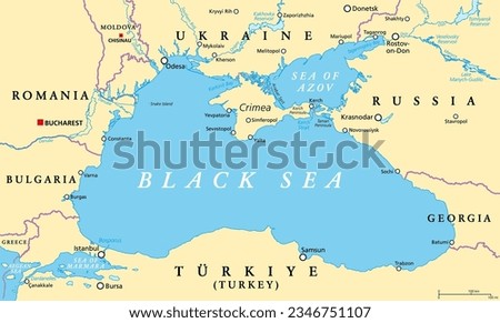
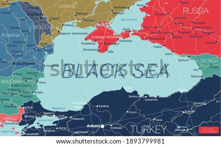
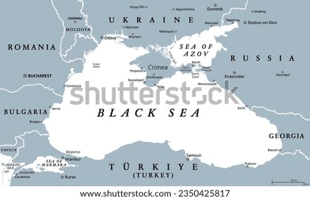
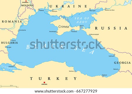
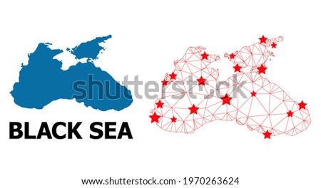
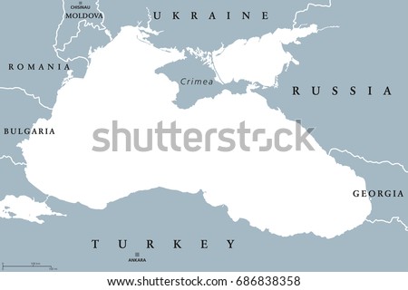
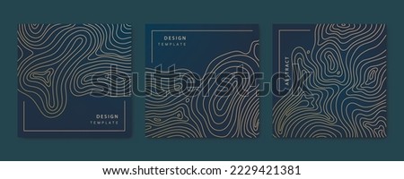
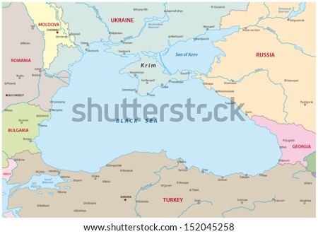
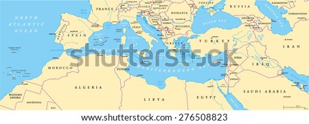
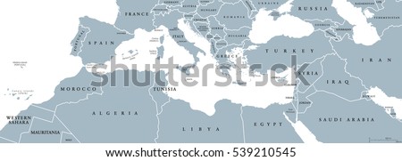
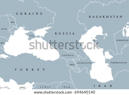
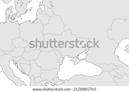
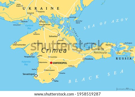
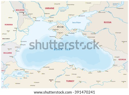
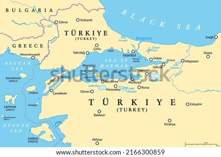
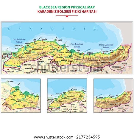
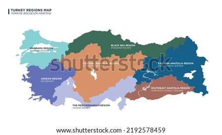
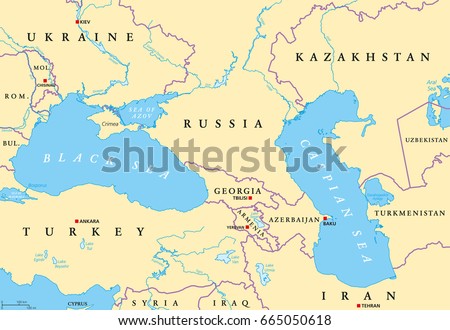
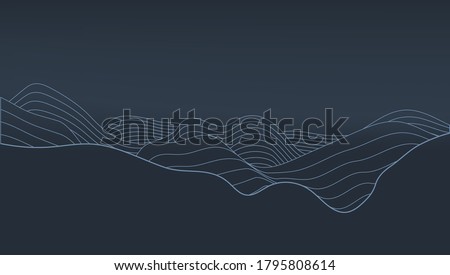
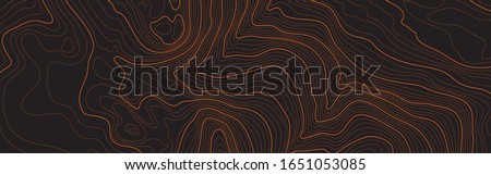
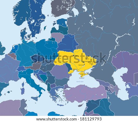
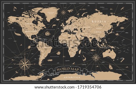
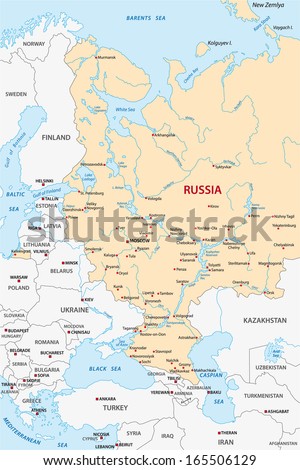
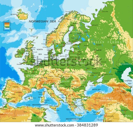
Black Sea region, political map. Located between Europe and Asia, with Crimea, Sea of Azov, Sea of Marmara, Bosporus, Dardanelles and Kerch Strait. Supplied by the major rivers Danube, Dnipro and Don. Royalty-Free Stock PhotoBlack Sea region detailed editable map with regions cities and towns, roads and railways, geographic sites. Vector EPS-10 file Royalty-Free Stock PhotoBlack Sea region, gray political map. Marginal mediterranean sea of the Atlantic Ocean, between Europe and Asia. With Crimea, Sea of Azov, Sea of Marmara, Bosporus, Dardanelles and the Kerch Strait. Royalty-Free Stock PhotoBlack Sea and Sea of Azov region political map with capitals, most important cities, borders and rivers. Body of water between Eastern Europe and Western Asia. Illustration. English labeling. Vector. Royalty-Free Stock PhotoWire frame polygonal and solid map of Black Sea. Vector structure is created from map of Black Sea with red stars. Abstract lines and stars form map of Black Sea. Royalty-Free Stock PhotoBlack Sea and Sea of Azov region political map with capitals and borders. Body of water between Eastern Europe and Western Asia. Illustration. Gray illustration. Vector. Royalty-Free Stock PhotoVector topographic map set cards. Contour line geographic map patterns. Golden and black. Labels, frames, social net stories, packaging Royalty-Free Stock Photoblack sea map Royalty-Free Stock PhotoMediterranean Basin Political Map. South Europe, North Africa and Near East with capitals, national borders, rivers and lakes. English labeling and scaling. Illustration. Royalty-Free Stock PhotoMediterranean Basin political map. Mediterranean region, also Mediterranea. Lands around Mediterranean Sea. South Europe, North Africa and Near East. Gray illustration with English labeling. Vector. Royalty-Free Stock PhotoBlack Sea and Caspian Sea region political map with countries, borders and English labeling. Bodies of water between Eastern Europe and Western Asia. Gray illustration. Vector. Royalty-Free Stock PhotoMap illustrations of Ukraine, Russia and neighboring countries ( no text ) Royalty-Free Stock PhotoCrimea political map. Peninsula in Eastern Europe on the northern coast of the Black Sea, with disputed status. Controlled and governed by Russia, internationally recognized as part of Ukraine. Vector Royalty-Free Stock Photoblack sea map Royalty-Free Stock PhotoBosporus and Dardanelles, political map. The Turkish Straits, internationally significant and narrow waterways in Turkey. Passages, connecting the Aegean Sea and the Sea of Marmara with the Black Sea. Royalty-Free Stock PhotoDetailed physical map of the Black Sea region. vector illustration Royalty-Free Stock PhotoDetailed drawn Turkey map with seven geographical regions, vector illustration. Royalty-Free Stock PhotoModern Detailed Digital UI Topographic Map Vector Abstract Turquoise Background. Geographic Topology Structure With Depth Route And Coordinates Conceptual Cartographic Illustration Royalty-Free Stock PhotoBlank gray political map of Europe and Caucasian region. Simple flat vector illustration. Royalty-Free Stock PhotoThe stylized height of the topographic map contour in lines and contours. The concept of a conditional geography scheme and the terrain path. Orange on black. Ultra wide size. Vector illustration. Royalty-Free Stock PhotoBlack Sea and Caspian Sea region political map with capitals, international borders, rivers and lakes. Bodies of water between Eastern Europe and Western Asia. Illustration. English labeling. Vector. Royalty-Free Stock PhotoAbstract Elevation Contour Topography Line Map. EPS10 Vector Royalty-Free Stock PhotoThe stylized height of the topographic map contour in lines and contours. The concept of a conditional geography scheme and the terrain path. Orange on black. Ultra wide size. Vector illustration. Royalty-Free Stock PhotoVector map of European Union and indication of Ukraine Royalty-Free Stock PhotoDotted world map Royalty-Free Stock PhotoThe stylized height of the topographic contour in lines and contours. The concept of a conditional geography scheme and the terrain path. Black & White. Ultra wide size. Vector illustration. Royalty-Free Stock PhotoWorld Map Vintage Black Golden Detailed - Vector Royalty-Free Stock PhotoWorld Map Globe Isolated on white background - stock vector. Royalty-Free Stock Photoeuropean russia map Royalty-Free Stock PhotoEurope - physical map Royalty-Free Stock Photo