GEOGRAPHIC INFORMATION SYSTEM Stock Photos and Images
Professional royalty-free GEOGRAPHIC-INFORMATION-SYSTEM stock photos and editorial news pictures from Shutterstock
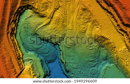
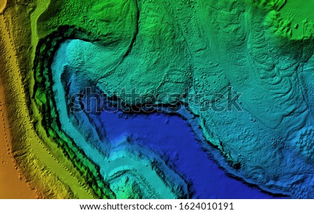
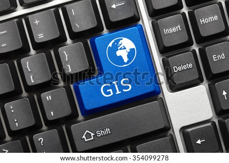
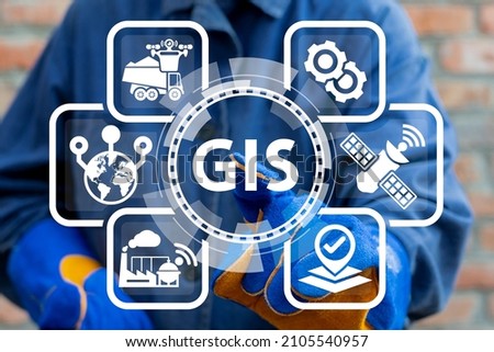
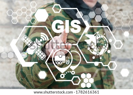
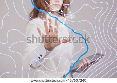
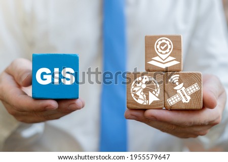
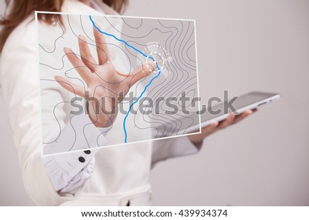
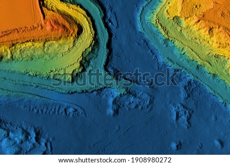
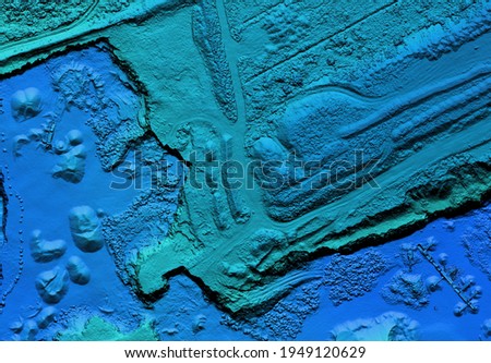
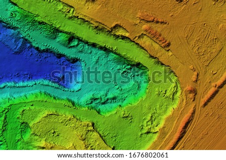
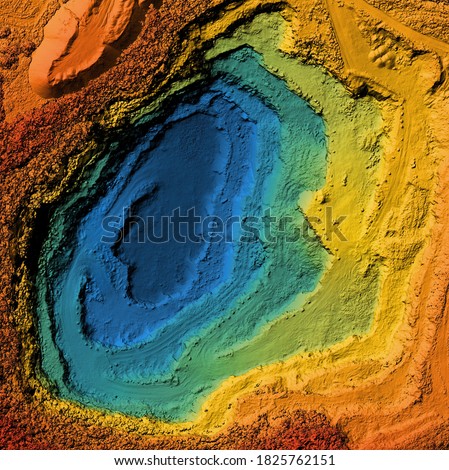
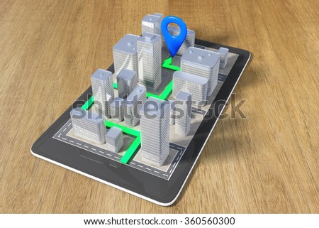
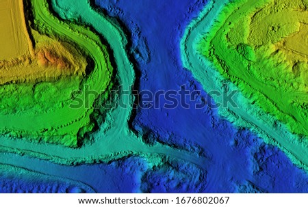
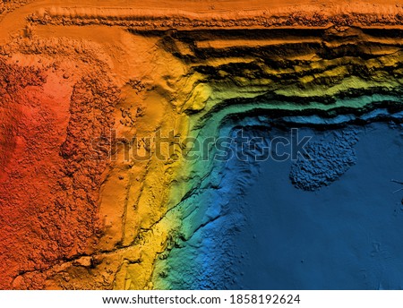
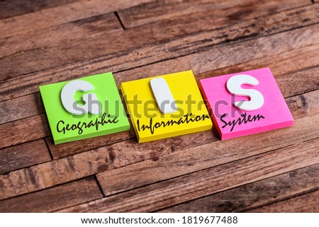
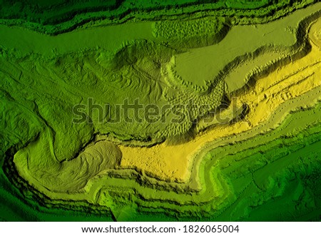
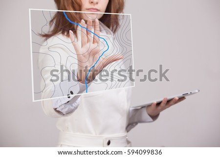
Railroad and technology concept. Traffic network. Royalty-Free Stock PhotoGeographic Information System (GIS) Modern Industry Smart Transportation Concept. Royalty-Free Stock PhotoModel of a mine elevation. GIS product made after processing aerial pictures taken from a drone. It shows excavation site with steep rock walls Royalty-Free Stock PhotoGeographic information systems concept, woman scientist working with futuristic GIS interface on a transparent screen. Royalty-Free Stock PhotoDigital elevation model. GIS product made after proccesing aerial pictures taken from a drone. It shows map of an excavation site with steep rock walls Royalty-Free Stock PhotoClose-up view on conceptual keyboard - GIS (blue key) Royalty-Free Stock PhotoModel of a mine elevation. GIS product made after processing aerial pictures taken from a drone. It shows excavation site with steep rock walls Royalty-Free Stock PhotoGeographic Information System GIS Modern Industry 4.0 Smart Geography Topography Cartography Data Transportation Tracking Concept. Royalty-Free Stock PhotoGeographic Information System (GIS) Army Technology. Military Geography Communication Technology. Royalty-Free Stock PhotoGeographic information systems concept, woman scientist working with futuristic GIS interface on a transparent screen. Royalty-Free Stock PhotoConcept of GIS Geographic Information System. Royalty-Free Stock PhotoGeographic information systems concept, woman scientist working with futuristic GIS interface on a transparent screen. Royalty-Free Stock PhotoMine elevation model. GIS product made after proccesing aerial pictures taken from a drone. It shows map of an excavation site with steep rock walls Royalty-Free Stock PhotoModel of a mine elevation. GIS product made after processing aerial pictures taken from a drone. It shows excavation site with steep rock walls Royalty-Free Stock PhotoDEM - digital elevation model. GIS product made after proccesing aerial pictures taken from a drone. It shows excavation site with steep rock walls Royalty-Free Stock PhotoGeographic information systems concept, woman scientist working with futuristic GIS interface on a transparent screen. Royalty-Free Stock PhotoModel of a mine elevation. GIS product made after processing aerial pictures taken from a drone. It shows excavation site with steep rock walls Royalty-Free Stock PhotoContact Tracing COVID-19 Corona Virus Tracking App and spread concept,world geographic map with people symbols and molecule icons on blue sky background Royalty-Free Stock PhotoDouble exposure of world map and cityscape of business centre connecting. Technology and network connection concept. Some element of this image furnished by NASA. Royalty-Free Stock PhotoNavigation concept with a cell phone and a paved route Royalty-Free Stock PhotoGIS Geographic Information Systems Smartphone App Technology Concept. Royalty-Free Stock PhotoDEM - digital elevation model. GIS product made after proccesing aerial pictures. It shows excavation site with steep rock walls that was mapped from a drone Royalty-Free Stock PhotoIndustry concept of GIS Geographic Information System. Royalty-Free Stock PhotoGeographic information systems concept, woman scientist working with futuristic GIS interface on a transparent screen. Royalty-Free Stock PhotoModel of a mine elevation. GIS product made after processing aerial pictures taken from a drone. It shows excavation site with steep rock walls Royalty-Free Stock PhotoGIS, Geographic Information System, written on the chalkboard Royalty-Free Stock PhotoColorful square papers with wooden white letters for the acronym word GIS means Geographic Information System Royalty-Free Stock PhotoModel of a mine elevation. GIS product made after processing aerial pictures taken from a drone. It shows excavation site with steep rock walls Royalty-Free Stock PhotoGeographic information systems concept, woman scientist working with futuristic GIS interface on a transparent screen. Royalty-Free Stock PhotoGeographic information systems concept, woman scientist working with futuristic GIS interface on a transparent screen. Royalty-Free Stock Photo